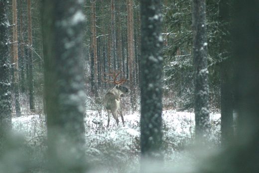
Peuran polku – Deer´s trail
Peuran polku is a 115 kilometres long nature trail network that runs through Lestijärvi, four other municipalities and the Salamajärvi national park. The trail also covers Central and North Ostrobothnia as well as Central Finland. The most common views along the uninhabited wilderness trail are rough swamps, old forests and lakes and ponds.
It is easy to go for a day trip to Peuran polku nature trail as the huts and beautiful spots on the way are not far from each other nor are they far from the town centre of Lestijärvi. A good starting point for hikes is Valkeinen.
Peuran polku trail is also perfect for a multiday hike and many people from all parts of Finland travel here to explore the trail. There are various huts and fireplaces along the way, where you can stop to rest, have a meal or spend the night. The trail consists of many different trails. The main trail is 77 km long and is only suited for experienced hikers who are able to orienteer. However, the trail can be spit to parts, when it is suitable for beginners too.
The trail can be used during non-snow periods because in the winter the markings on the trees can be covered in snow. The trails will also be snowy and cannot be used without skis or snowshoes.
Find more information on Peuran polku trail here and get the map of Peuran polku trail from the library of Lestijärvi.
Recommended starting/ending point in Lestijärvi for the Peuran polku trail is Valkeinen.
Google maps locations for the starting/ending points
Map of Peuran polku